(PINPOINT WEATHER) — Good evening and happy Sunday Funday!
As we close out the weekend and head into a new week we are tracking rain and some snow on the way for Monday as a storm system moves through. Behind it, the warmest temperatures we have seen in roughly two weeks are expected for the middle of the week. Towards the end of the week, our next cold front will push our temperatures back towards average for next weekend.
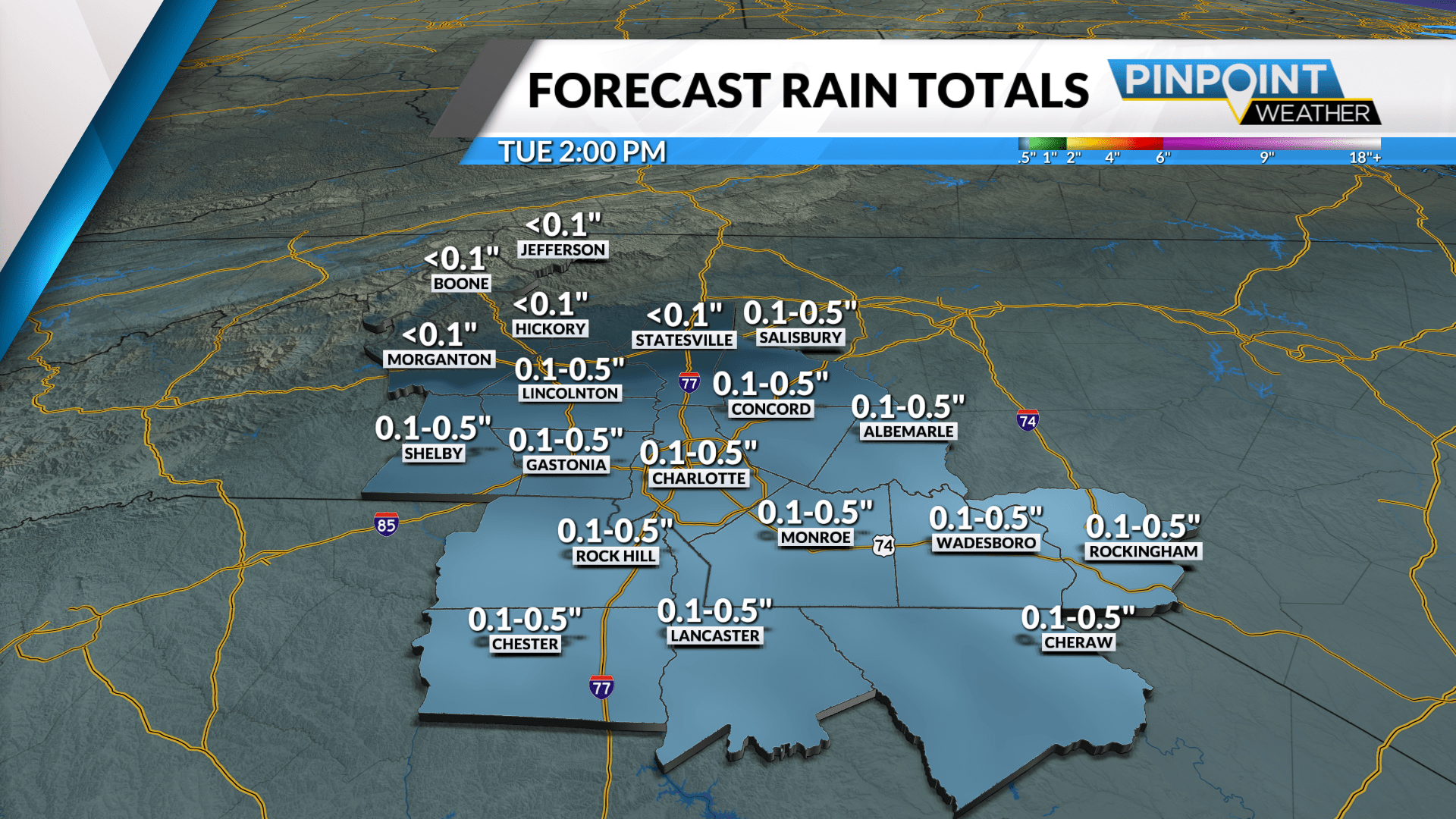
As for tonight and your Monday, clouds are expected to increase as we go through the evening and overnight hours with lows staying above freezing in Charlotte. Monday scattered showers are expected throughout the morning and into the afternoon hours. Some snow is possible up in the mountains with an inch or two possible for the area ski resorts. Highs in Charlotte will be around the 50-degree mark.


The middle of the week will be dominated by some of the warmest temperatures we have seen in the past two weeks with highs on Wednesday pushing into the low 60s with mostly sunny skies. Later in the week, we are tracking our next cold front for Friday into Saturday with all rain expected for the region. Behind it, our temperatures will go from the low 60s Saturday to the upper 40s Sunday.
In the meantime, make sure you grab an Umbrella before you head out the door on Monday! Have a great week!
