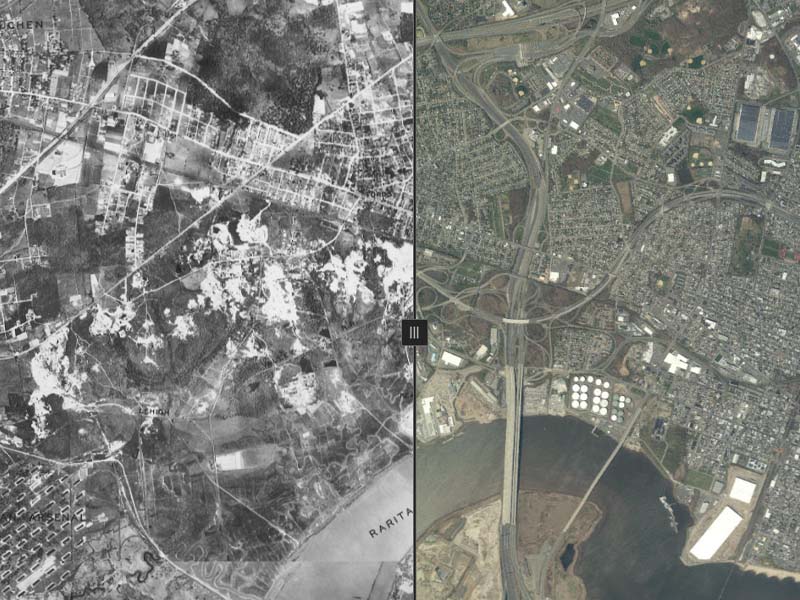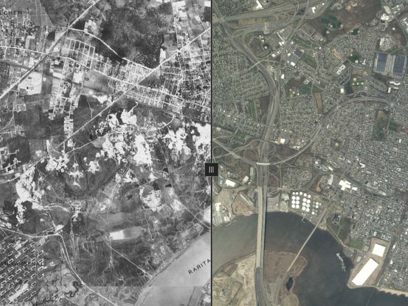
Trenton, NJ – The New Jersey Office of GIS (NJOGIS) has unveiled a unique tool that allows users to explore the state’s landscape changes over the past 90 years. The “NJ Time Machine” offers an interactive comparison of New Jersey’s geography from 1930 and 2020, showcasing the significant transformations the state has undergone.
Check it out here: NJOGIS 1930 Time Machine
This innovative project is part of the NJ Geographic Information Network’s ongoing mission to coordinate GIS adoption across state agencies. Established in 2001 by Executive Order 122, NJOGIS is tasked with maintaining a clearinghouse for GIS data, assisting state agencies in enhancing their GIS capabilities, and serving as the state’s liaison with national GIS organizations.
The primary focus of NJOGIS has been on data coordination and oversight. The organization emphasizes the importance of data reuse to avoid redundant data creation, promoting a “build once, use many times” approach. This strategy has led to substantial cost savings by preventing the duplication of efforts in data development and maintenance.
To ensure effective data reuse, NJOGIS prioritizes the documentation and discoverability of data sets. Since its inception, NJOGIS has advocated for standardized metadata to document GIS data and has provided a searchable catalog for data discovery. In 2019, the NJ Geographic Information Network (NJGIN) launched its third generation, continuing the clearinghouse role established by the executive order.
The “NJ Time Machine” is the latest effort by NJOGIS to enhance public access to valuable geographic information. By enabling a visual comparison of New Jersey’s past and present landscapes, this tool not only serves as an educational resource but also highlights the dynamic nature of the state’s geography.

